01
Dispersed data
Open data, local registries and technical datasets are often fragmented.
Data-driven support for urban planning, mobility and public investment choices.
The Territory Hub applies the MAATAI-LAB method to local public decisions: prioritizing investments, combining spatial data, making trade-offs visible and documenting the rationale behind choices.
VELODIT gives technical teams, elected officials and partners a shared support to discuss priorities, objectify trade-offs and explain investment choices.

Urban planning and mobility choices involve imperfect data, budget constraints, political visibility and a growing demand for transparent criteria.
Open data, local registries and technical datasets are often fragmented.
Safety, continuity, equity and usage potential must be balanced.
Maps and scores must support debate, not close it.
Investment priorities need documented criteria and assumptions.
VELODIT prioritizes cycling investments. ECODIT prioritizes school surroundings to secure. FRAÎCHEUR will be integrated after the dedicated materials are finalized.
Identify where cycling investments can produce the greatest impact.
Rank school sites by priority, keep actionability separate and support multi-year programming.
Upcoming product for prioritizing cooling interventions using open spatial data.
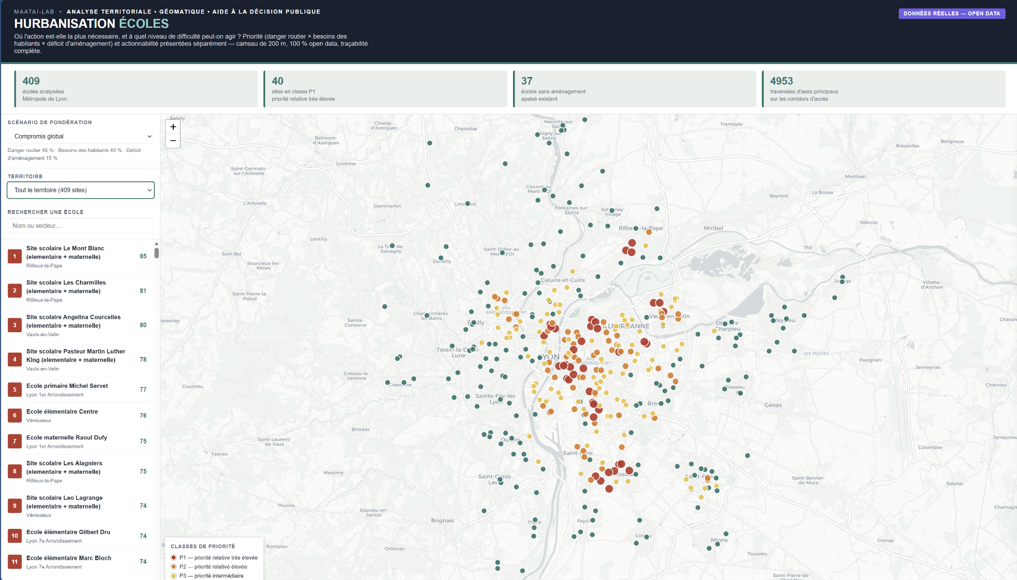
The demonstrator on Lyon shows how the tool filters by territory, displays priority classes and explains why a school site should be treated.
FRAÎCHEUR ranks 200 m grid cells by the need for action against heat, while separately identifying visible intervention levers. Its bridge with ECODIT highlights double-benefit schoolyards.
Morphological overheating, resident sensitivity, exposed population and distance to cool resources are combined into an explainable score.
Explore FRAÎCHEUR →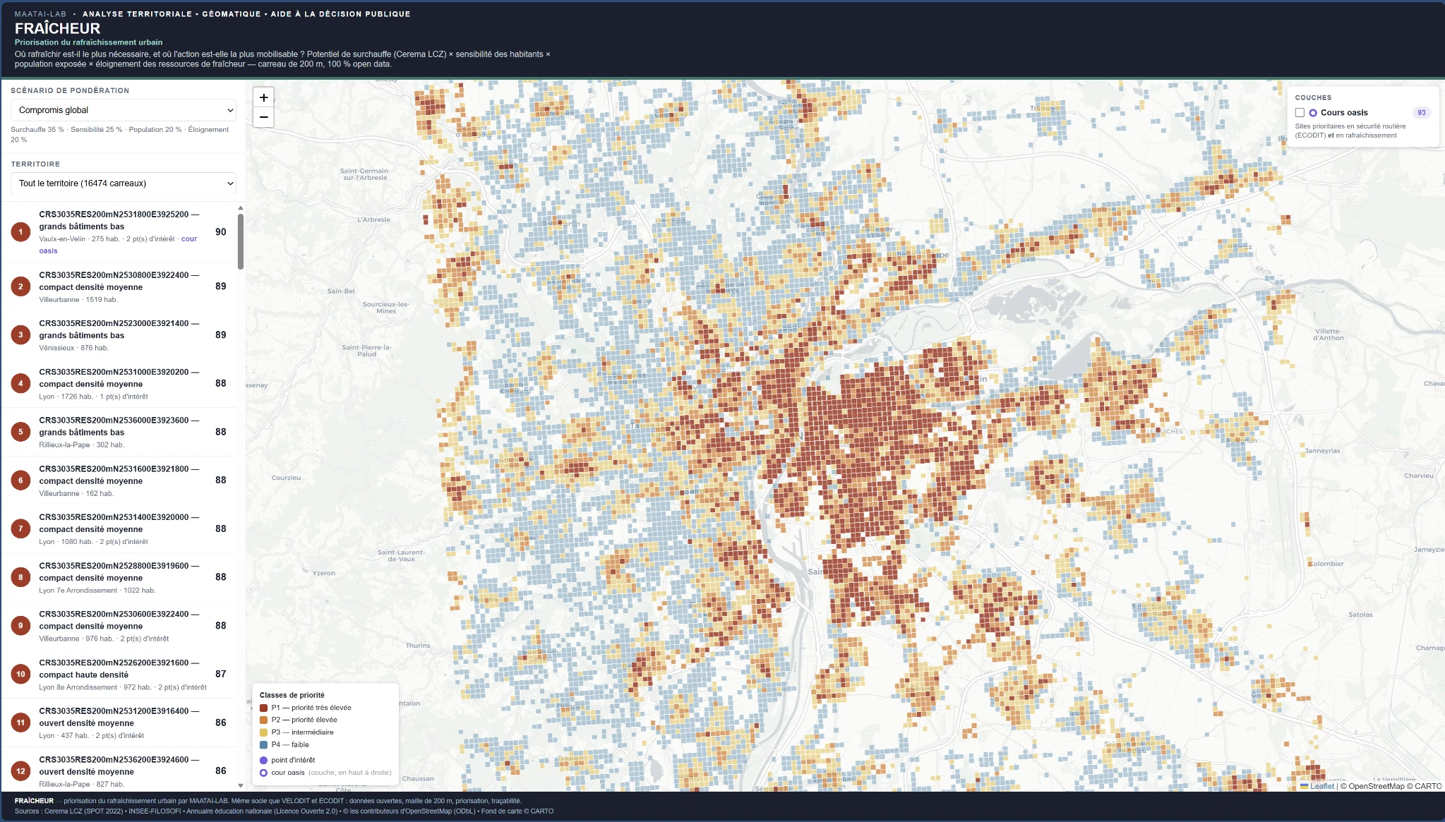
VELODIT, ECODIT and FRAÎCHEUR share the same foundation: fine grid, open data, priority separated from ease of action, and verifiable explanations.
A first exchange can identify the data available, the decision to support and the most useful pilot format.